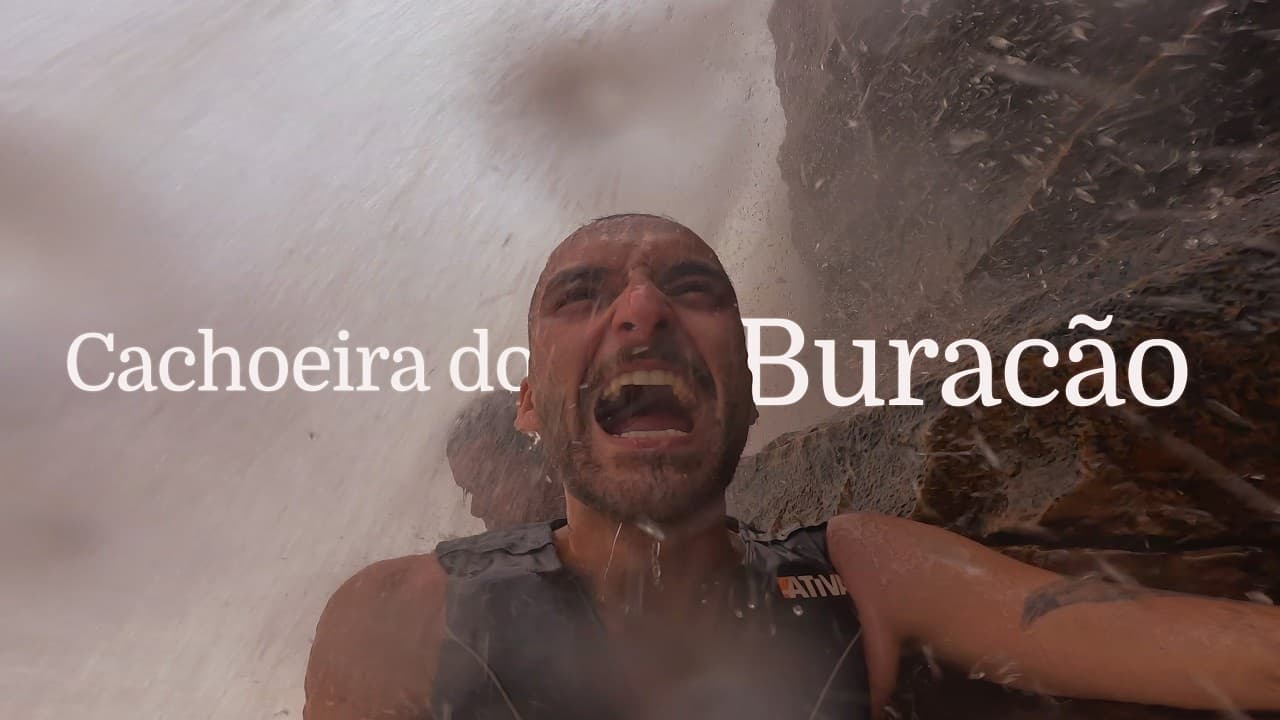
Cachoeira do Buracão, in Ibicoara: an 85-meter drop, a 3 km trail through three biomes and a swim between the canyons to reach the base of the falls.
This is Cachoeira do Buracão, one of the most impressive attractions in Chapada Diamantina. We're talking about an 85-meter waterfall and a pool with an estimated depth of 30 meters. Because of the huge volume of water and all that depth, the water has a really dark color, which makes the whole place incredibly imposing.
To reach the falls, you have to swim between the canyons, which is why going with a guide and wearing a life jacket are mandatory. Visiting Cachoeira do Buracão is, without a doubt, one of those experiences you carry with you for life. Here I tell you how ours went, from the way in to the way back.
Watch the full content
Trail information
- Where it is: Brejão, in the countryside of Ibicoara, in Chapada Diamantina, Bahia.
- Entrance: R$ 20 per person, life jacket included.
- Distance: 3 km there and 3 km back.
- Guide: mandatory. We went with Antônio.
- Rappel (optional): R$ 220 to descend 90 meters.
- Swim: about 100 meters in the water, between the canyons, to reach the falls.
Where it is
From Andaraí to Ibicoara
After 12 days in Andaraí, we packed everything into the car and hit the road again. Nina, of course, made a fuss about getting in and climbed aboard covered in dirt. We took the road toward Mucugê planning to camp at Camping Cantinho da Lua, in Brejão: a 147 km drive, mostly on asphalt, past one mountain more beautiful than the last.
6 km from Ibicoara, we stopped to fly the drone. From there, Cris and Renata drove the cars while I piloted, to get these gorgeous shots of our arrival in town.
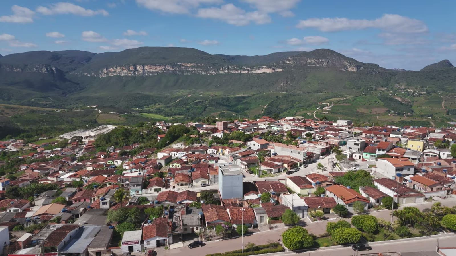
Ibicoara is a town of about 12 thousand people, surrounded by natural landscapes and with a pleasant climate. It's an important stopover for adventurers and ecotourism lovers: lots of people stay there to visit two of the most imposing waterfalls in Chapada Diamantina, Buracão and Fumacinha.
Passing through Ibicoara, we headed on to Brejão, now on a dirt road for real. It was another 30 minutes to the camping entrance, with the sun starting to set and a beautiful view of the road.
Camping Cantinho da Lua
Brejão is a rural community known for its peacefulness and for the hospitality of the locals, who keep the traditions of country life alive. Cantinho da Lua has a barbecue grill, a full kitchen with a fridge and stove, and a pond right next to the campsite, with a sunset that leaves you speechless. And a deafening silence.
The first morning was really cold, around 13°C, the lowest temperature I'd seen in Bahia up to that point. Even so, the night was peaceful, and I slept comfortable and cozy.
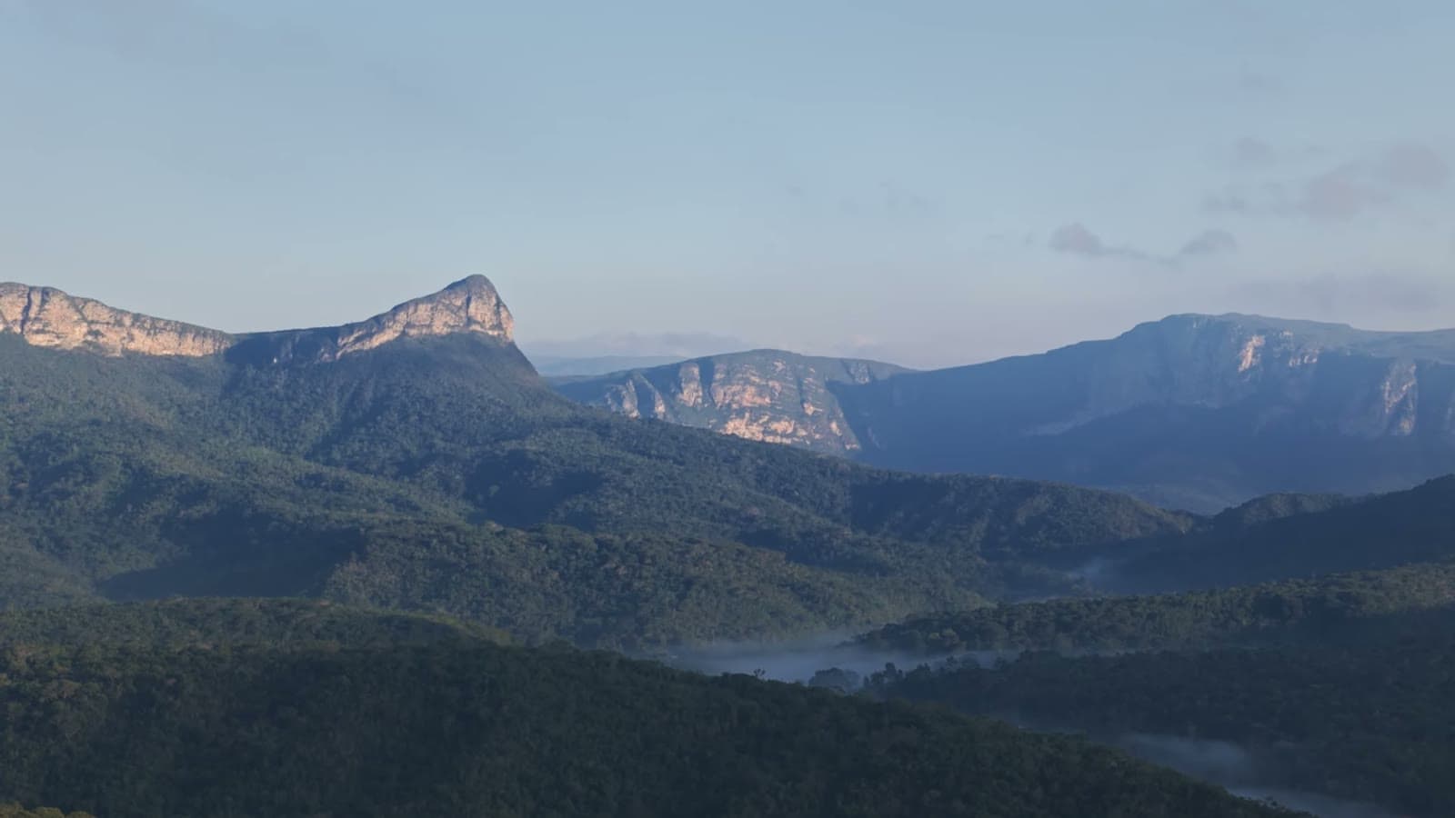
This wonderful mountain is called Pico do Gavião. It sits along the Fumacinha trail and was the highlight of the landscape during our seven days of camping. From the campsite to the start of the Buracão trail it's 9 km.
For anyone who wants to stay there: Camping Cantinho da Lua, Brejão, Ibicoara, WhatsApp (77) 98145-1794.
The gate and getting ready
We left Brejão in my car: me, Cris, Renata and our guide Antônio. This time little Nina stayed at the campsite, because dogs aren't allowed on the trail. At the gate we paid the park entrance, R$ 20 per person, and after that there are still 7 km of dirt road to the Buracão parking lot.
There we got our backpacks ready, and each person carries their own life jacket, which is provided by the park and already included in the entrance fee.
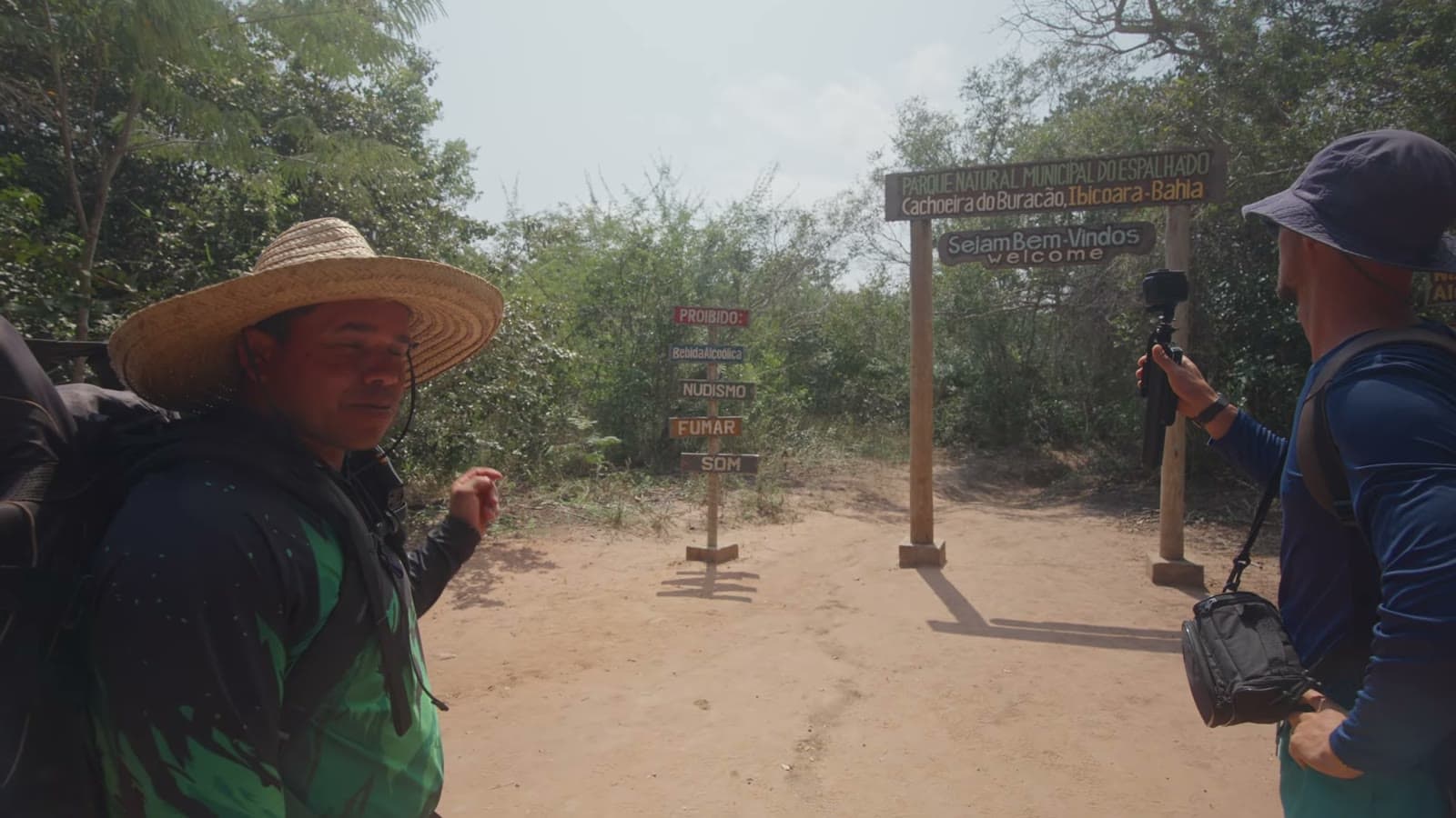
At the start of the trail, Antônio went over the park rules: no alcohol and no smoking, take nothing but pictures, kill nothing but time, leave nothing but footprints. "And from here, the only thing we take is the longing."
Antônio
I asked him how long he'd been guiding there. Officially, a little over two years. Before they start leading groups, guides go through about two years of training, and when they're close to being cleared they do a few more training sessions, until an experienced guide assesses whether they're ready. And you need experience, because nature is nature. Antônio said he guides out of love for what he does, and you can feel it.
Three biomes on the same trail
The beginning of the trail is very easy, with a few streams along the way. Soon we reached a first, more open area, with rocks and a really beautiful river. Antônio explained that three biomes mix there: the cerrado, the caatinga and the Atlantic Forest. The closer you get to Cachoeira do Buracão, the more Atlantic Forest there is.
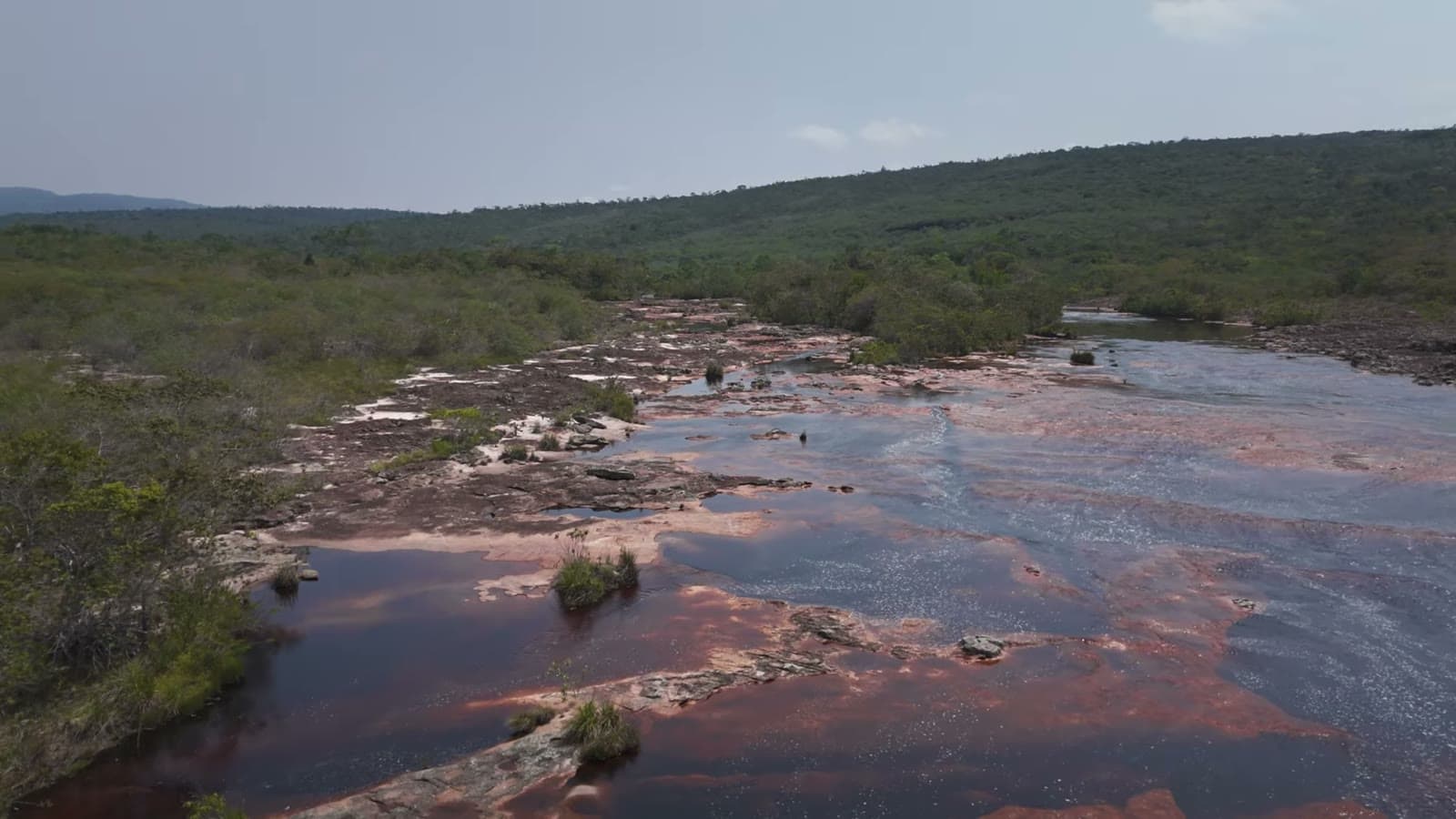
This is Rio Espalhado, which runs through Chapada Diamantina and is vital to the region's ecosystem: its drinkable waters sustain the local biodiversity and supply the communities. The river splits into several channels, creating a spreading effect of the waters, and that's where the name comes from.
For the audiovisual nerds
The backpack I use is a Lowepro, the first model of the Flipside 400 AW. I've had it for over 10 years, since I started working in photography, and it's the perfect size to carry the camera, the drone, the controller and everything else. This specific model has been discontinued, but I highly recommend Lowepro to anyone who needs a professional photography backpack. The drone is a DJI Air 3.
On this trail I also found out that I can clip the camera to a carabiner and free up both hands for the stretches where you need to hold on to get down. Really handy.
Why be out there
One of the main reasons I started this trip was precisely to be out there more, more in nature, filming and photographing. For a long time I lived in an apartment working in photography, and I got tired of being the apartment photographer, you know? That photographer and filmmaker who only leaves the house when there's a paying job.
Traveling and seeing new places is always a reason to practice photography, video, capturing, and also to think about how I'm going to tie the story together to tell it to you all. Being out there, being in nature, is really, really good.
Poço Manso and the alternating-step stairs
Next we reached Poço Manso, which soon becomes Cachoeira do Buraquinho, with a wonderful view. From there on the terrain becomes completely rocky, amid plenty of vegetation. At one point, the water goes into the rock up top and comes out below, part of it through a crack and part further down.
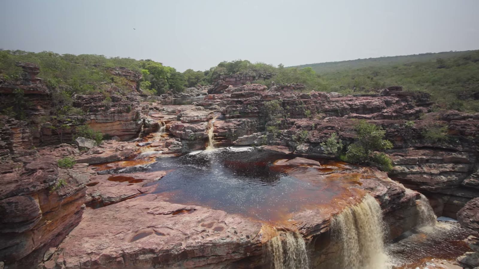
This stretch has some stairs installed to make access easier, and I found them really interesting: they're flights with alternating-step treads, inspired by the Brazilian inventor Santos Dumont. This design requires you to start with a specific foot and makes the staircase take up less space.
We passed Cachoeira das Orquídeas, and Antônio told us they had recently opened a rappel route. To rappel down the 90 meters, the price was R$ 220. We chose to just walk down, using the stairs.
Cachoeira do Recanto Verde
The trail keeps getting more and more beautiful, with lots of vegetation between the rocks, and the air gets more and more humid until you reach Cachoeira do Recanto Verde. Unreal. Its water runs under the rocks and comes out somewhere else.
We hadn't even reached Buracão yet and I already thought this was one of the coolest trails I've ever done. And it's not very tiring: it's only 3 km to get there. The Fumacinha trail, for example, is 9 km there and 9 km back. Compared to it, the Buracão trail is much easier, which makes the outing more enjoyable, without so much worry about distance and fatigue.
Poço das Gameleiras and the swim across
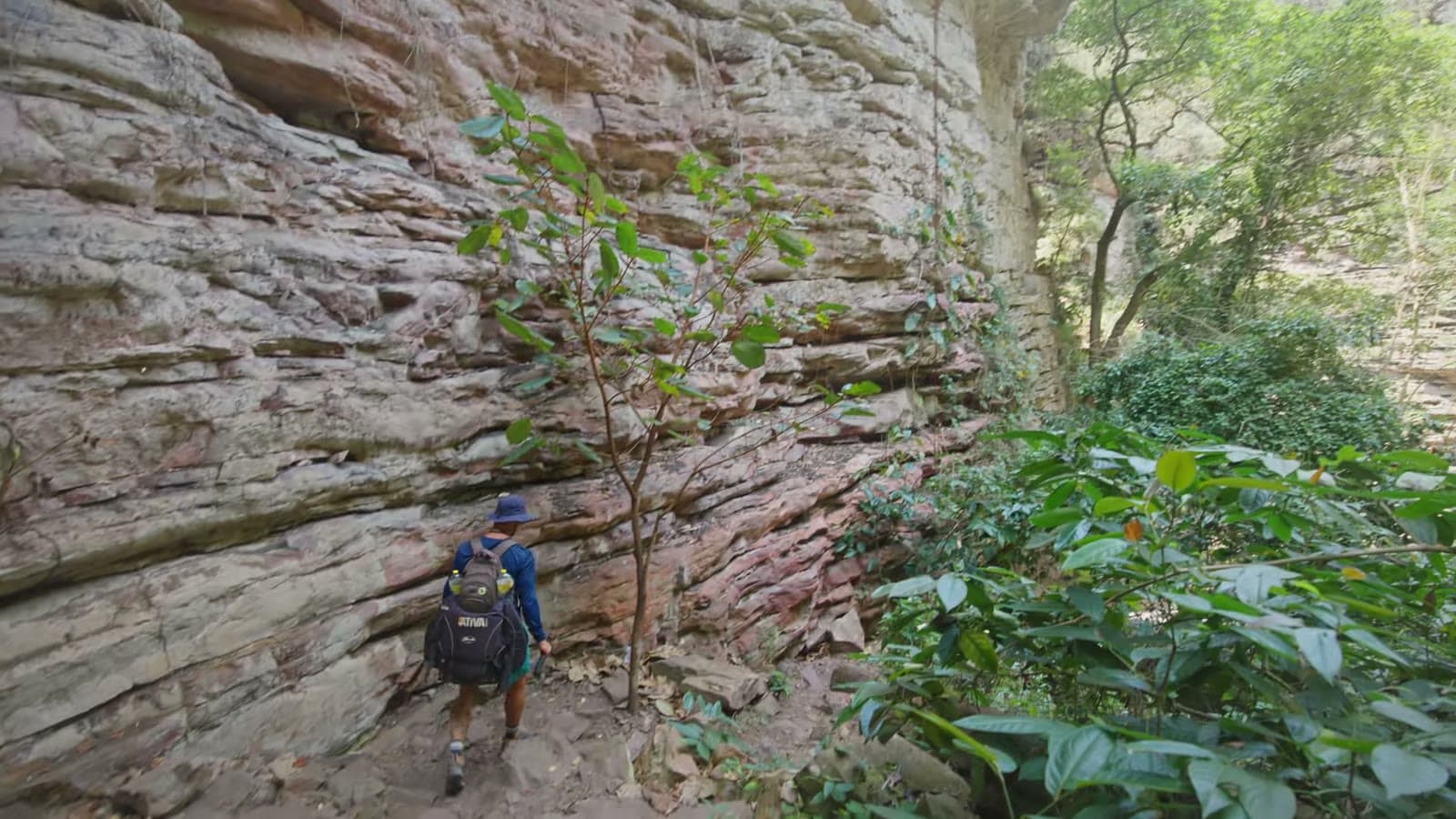
When you officially arrive, this enormous rock wall appears. Right after comes Poço das Gameleiras, and that's where everyone puts on their swimsuit, because to get to Cachoeira do Buracão you have to swim, following the current to the other side.
The first swimming stretch is about 60 meters. Antônio carries a dry bag for electronics, and I put the camera in there, with the mini tripod and the microphone, and hoped for the best. Once again I was saved by Cris, who brought the GoPro to film in the water.
Antônio's tip for swimming: just kick your legs, with slow movements, otherwise you get really tired. And the life jacket makes all the difference.
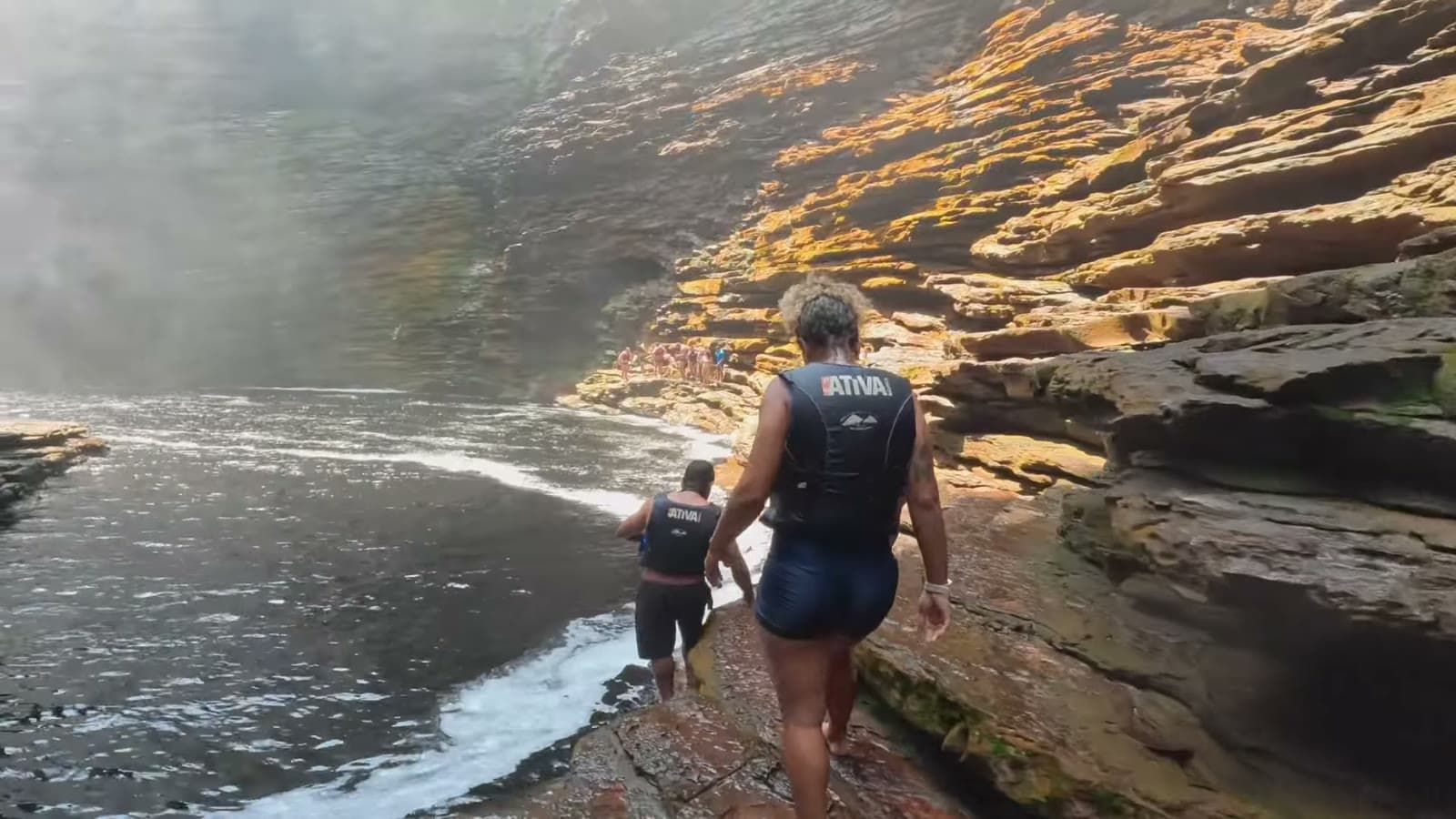
After the swim, we skirted the rocks until we reached a spot where everyone just stays, admiring the waterfall.
Cachoeira do Buracão
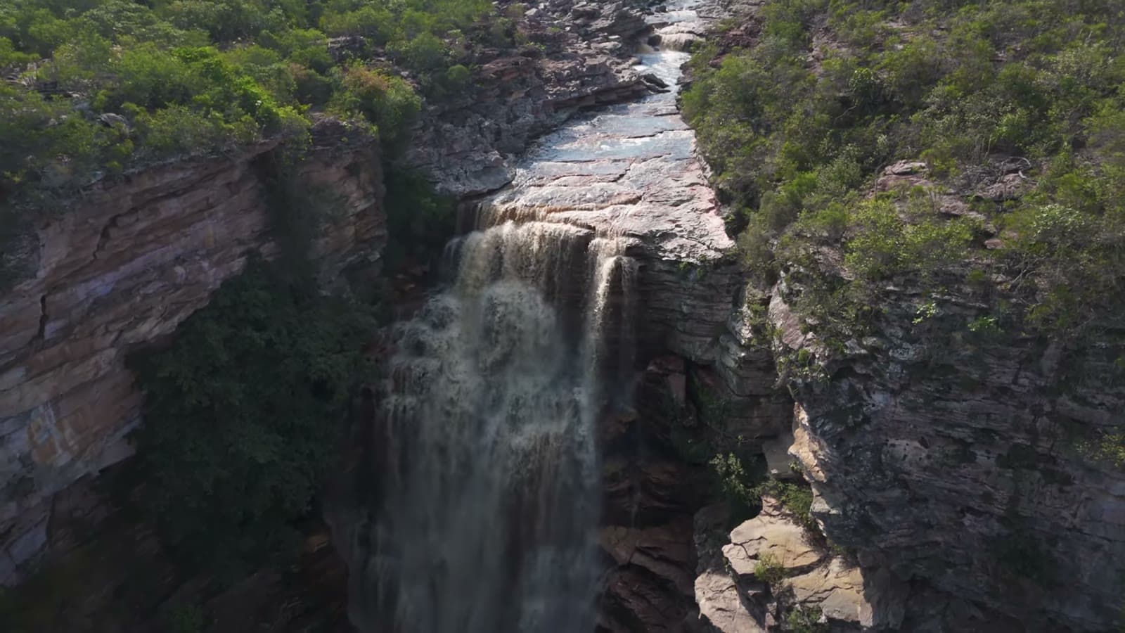
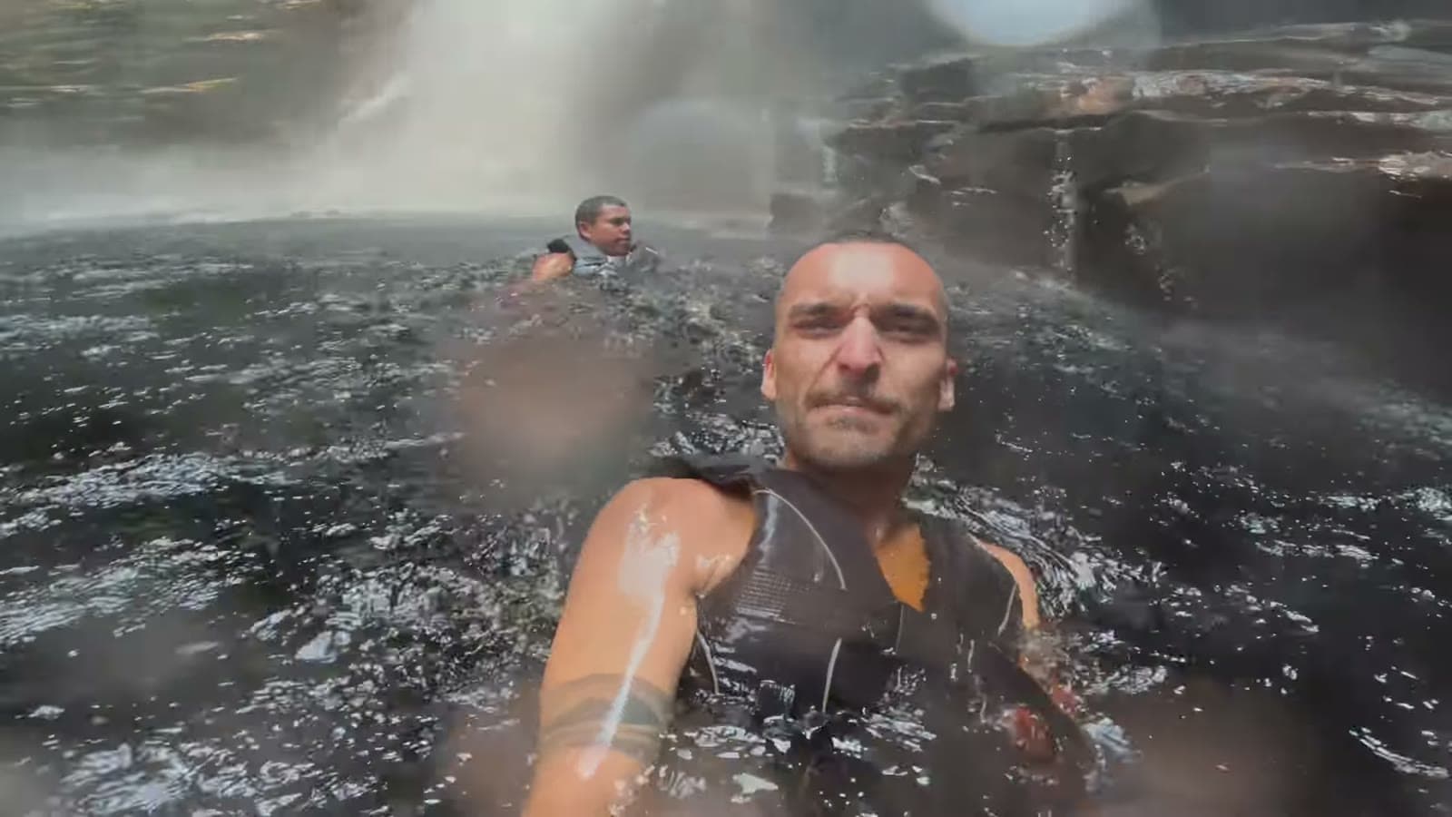
The water was freezing, but I couldn't miss the chance to go down there and feel that water on my face. At that moment, the volume of water was so big that keeping your eyes open was almost impossible. Antônio came with me and gave me a crucial tip: walk backwards, so you can keep your eyes open.
Antônio's coffee
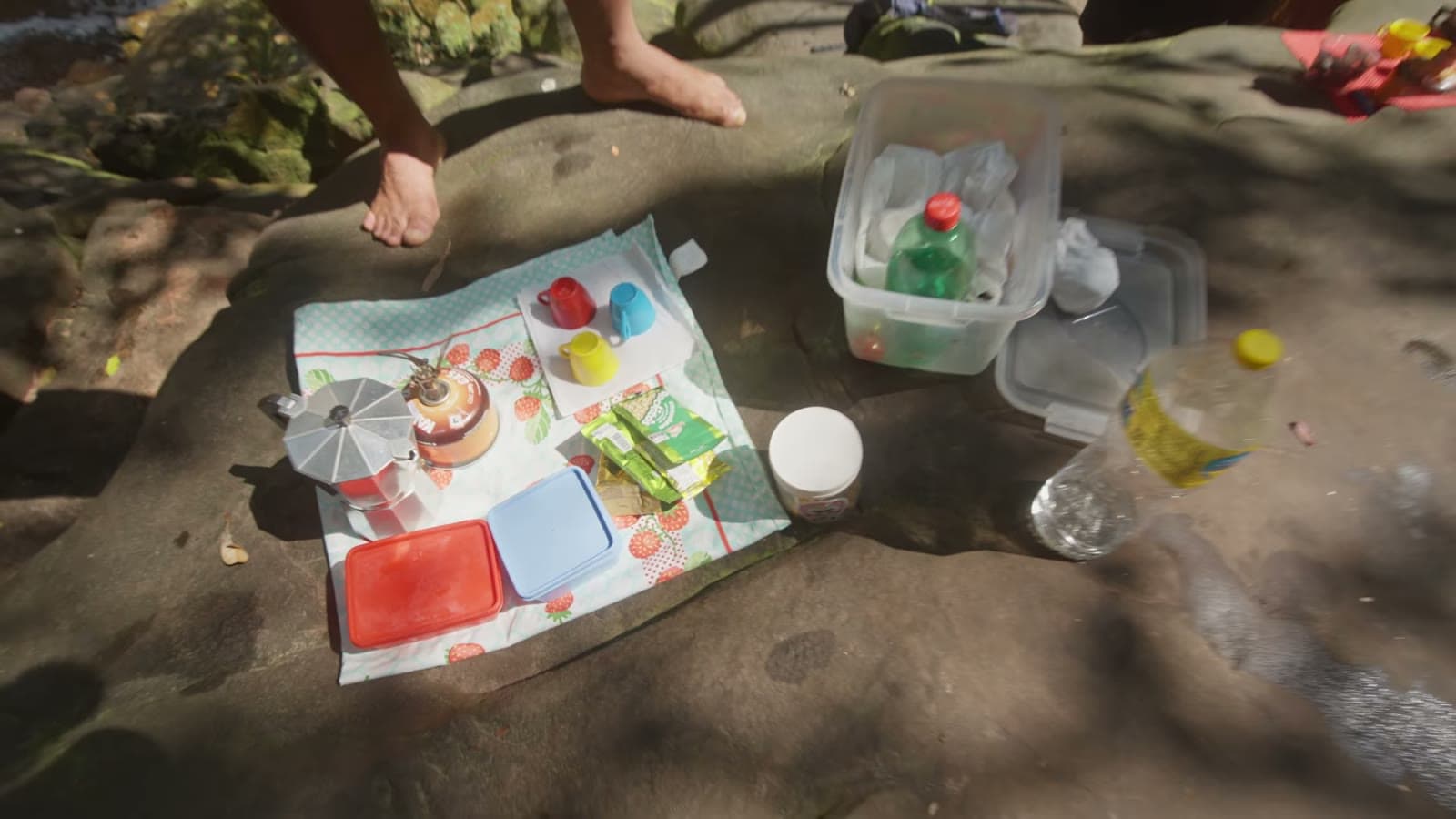
After that moment of intense emotions, Antônio made us a little coffee, and we stayed there resting and enjoying the view, surrounded by these canyons.
The way back
The way back is always faster. It was 3 km there and 3 km back, and it was wonderful. A really cool trail and also a challenging one, especially for anyone who can't swim. I'd do it again. And at the end, an ice-cold coconut water to rehydrate.
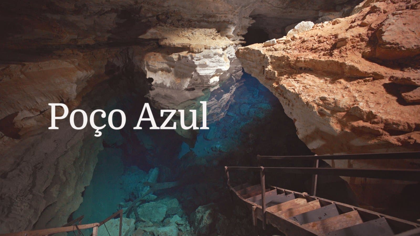
If you enjoyed this, also check out the Poço Azul and Itacaré videos on the channel. See you in the next one!
Tags
- # bahia
- # chapada diamantina
- # waterfall
- # hiking
- # travel